


Technology has contributed to solving various human problems. Especially at the present time due to the rapid state of change it is going through. It is also necessary to point out the applications it provided to many fields. Like the environment and health care. Many other technological means have developed human lives, and helped them save time and effort.
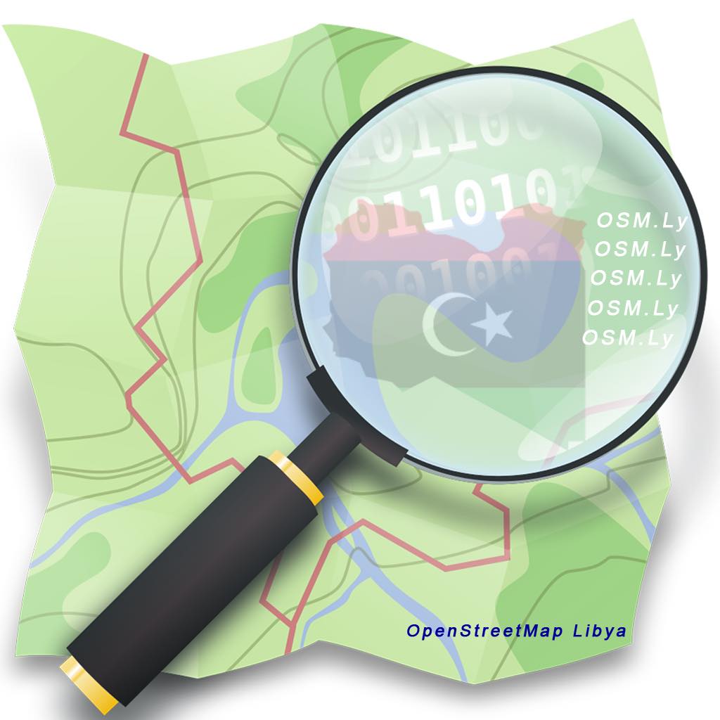
In this article, I am sharing the story of a great initiative within the Libya community. Also the great minds behind it. The people interviewed in this article are experts in engineering and digital development. Their aim is to transform the Libyan society to keep up with the world in the era of globalization. Get to know the people behind Open Street Map Libya . Their work in building the digital spatial infrastructure for the country.
Introducing The Guests
I have gotten the pleasure to interview Libyan experts behind OSM Libya. First, Mr. Abdurahman Al Furjani is one of the founders of OpenStreetMap Libya. He is a PhD student in civil engineering. He is working in the field of smart cities and 3D modelling. Another guest is Mr. Mohamed Almajdoob, he is a geologist and researcher in spatial data infrastructure. Also, he is working within the media team in this initiative.
Another guest is Mr. Abdulbaset Bendalla. He is a civil engineer and specialized in computer engineering as well. He is the the chief of the Libyan Society for Remote Sensing and geographic information system. In addition, Mr. Mohamed Elsaeh, a founding member in the Open Street Map Libya. He holds a master’s in programming from Bradford University in the UK. He also has a PhD degree in the use of robots and virtual world in neuroscience and medical application. In addition to published papers inside and outside of Libya in relation to smart cities.
Women’s role in this initiative is crucial from many cities around Libya. Another guest is Mrs. Aisha Gumma, a civil engineering graduate from Sabratha University in Libya, specialized in reuse of materials waste and sustainable development. She has huge interest in smart cities which encouraged her to volunteer with Open Street Map Libya.
What is The Libyan Society for Remote Sensing and Geographic Information System (LRSGIS)?
Before detailing the work of the initiative, it is essential to first explain the work of the Libyan Society for Remote Sensing and Geographic Information System (LRSGIS). In order to better understand how the initiative came to be. An association that was founded in December 2014 is specialized in raising awareness in the field of digital transformation. It is also an official body that connects experts in one platform.
They first started by discovering the field and they hosted scientific roundtables, both general and specialized. They then came up with an annual event called Libya Geo-Tech conference. The LRSGIS and OSM started working together since 2019 on many initiatives. Mainly the National Digital Transformation Initiative and the National Digital Mapping Initiative.
They have partnered with 18 universities in Libya to further support newly graduates and comprehend the work of universities in information related fields. However, it is essential to understand that we don’t have specialized people in Geographic Information System (GIS) in Libya. But through their great efforts, they are working for the creation of geomatics department in Brega University. It will be the first official department for GIS studies. The department will graduate students in this field which will greatly help and make things easier in the future.
The Challenges Faced by the LRSGIS
As an official association; they faced numerous challenges. For example, having the suitable cadres and right logistics. However, they have made huge progress on both logistic and administrative levels. They have also developed great sense of professionalism in the conferences held, especially last year’s edition. In the early stages of preparing for geo-tech 4 in 2019, Mr. Abdul-Basset Bendalla got in touch with Mr. Abdurahman Al Furjani who introduced to him the concept of Open Street Map Libya.
At that time, the digital map had no viable information or data in it. He also introduced to Mr. Bendalla the term ”crowdsourcing” and what can the masses do to develop the map. Instead of waiting for the government to develop the data required for Libya’s map. Through crowdsourcing, people can contribute and have active participation.
The LRSGIS are managing the platform in terms of raising the awareness of users in order not to vandalise the platform. They have been having awareness sessions continuously. Later on, the tools available on open street map platform were enhanced. In terms of having tasks managers or supervisors to follow up the users work and progress in the mapping process.
Open Street Map Libya Story
In Libya, we have a huge problem related to postal addressing. If you have ever been to Libya, you will notice that there are no numbers available for any building. So if you ever wanted to get somewhere, people will direct you through the surrounding buildings. For example, if the place is close to a store, the directing person will give you its name to make it easy for you. Moving around can be hectic for someone struggling to memorize areas.
”I am on the map then I exist”
Mr. Abburahman Al Furjani
Moreover, buying anything from abroad is another problem. When you want to add the street address, you will never find any place linked to Libya. That is because we don’t have official postal addressing registered system. But, Mr. Abdurahman decided to develop an initiative that can solve this problem. Through this open source platform; it can make people’s lives easier in Libya.
In addition,
Through Mr. Abdurahman’s PhD research back in 2016; he discovered a new term called ”Geo-Volunteers Spatial Data”. The general culture or understanding around volunteering revolves mainly around civic engagement in environmental issues or medical causes. However, linking volunteering with engineering was definitely new to him. Through crowdsourcing, you can include people through data collection. Regardless of their professional background to participate in drawing a map.
Including people remotely through participatory mapping, in addition to keep it open to anyone to benefit from it. There is a necessity to have a system for geographical data. It could help policy makers in simulation analysis to get indicators to make the right decisions. OSM Libya is an initiative that has developed the geographical and spatial infrastructure on the map. Through this initiative, you can find buildings, streets, and geographical locations and structures officially registered. This is a nation wide initiative that covers Libya from east, west, and south.
Challenges Faced by OSM Libya
There were many challenges or obstacles to overcome by Open Street Map Libya. For example the privacy of data, lack of legalization in terms of open access on the internet,. Also the communication problem in terms of power cuts which reflects in poor internet connection. Vandalism is another problem by users during the learning process. Mainly because the platform gives open access to anyone to use it freely. Sometimes, users intention is not to necessarily vandalise the platform. But when they don’t have enough understanding of usage terms, they can easily cause some problems. However, in this part comes the role of the LRSGIS.
When they adopted the idea back in 2019. and the concept was still not very well known in Libya. However, Mr. Abdurahman expressed that it is coming our way to understand the importance of having a spatial infrastructure. Any interested user in Libya can reach out to OSM and LRSGIS to provide the assistance and support required. In terms of workshops and trainings to use the platform and its tools in an efficient way.
Additional challenges
Another challenge is in the drawing process, when you highlight or mark a building, you must add the attributes manually. However, the lack of administrative boarders between cities in Libya make it even more challenging. Yet, the biggest challenge lies in the intention to change even amongst scholars in Libya. Especially the ones adopting the old mentality before the digital transformation that occurred worldwide. The LRSGIS provided a legal and secure umbrella for OSM Libya initiative that made their work easier and smoother.
Another technical challenge is that Google is not licensed in Libya. They need data to understand the buildings usage and identification. Usually, the image interpretation does not provide enough information. In terms of the level of buildings, its usage if it is residential or governmental, etc. Thus, the OSM had to cover this gap. As a result, they started to use OpenStreetCam which became KartaView on the ground in Libya which provides close range imagery.
They formed teams in total of 45 cities around Libya. Volunteers have to download an application to turn pictures into geo-referenced images. Many people volunteered to move around areas to take pictures that are changed into victor data. The change of pictures into data can further be used in many applications. Such as ArcGIS or geographic systems for architects and civil engineers. Turning the picture into a lively digital species was essential in the data entry process. It is important to mention that the map is not only used by professionals. Such as water bodies, vegetation, urban planning, telecommunication, etc. Volunteers are working as sensors in which the data can help develop many applications.
Open Street Map Libya Key Achievements
It is important to understand that there are two parts in the mapping work. The terrestrial imagery using OpenStreetCam which became KartaView and the drawing part which comes second. It is similar to fieldwork and office work. Mrs. Aisha Gumma volunteered in the imagery tasks on the ground. Where she covered huge spaces from Zwara until Sebratha and the surrounding parts of this covered area.
OSM Libya reached the 6th order in world ranking by a volunteer named Mr. Abulrazag from Bani Walid and 8th order in world ranking by a volunteer named Mr. Abdullah Al Werfalli. In addition, Dr. Ghada Hwedi who made a huge effort in covering parts in the eastern region. Mapping the area is not possible without the open street map. OSM mapped 131.1K building, they made more than 982K edits on the map. They have 4109 contributors in Libya and over 2 million kilometres of roads and small roads were detected and mapped.
OSM Africa Monthly Mapathon: MapLibya
OSM Africa Mapathon is an event that provides an opportunity for people to build connections. Also, to share knowledge amongst volunteers from around the world in the mapping process. First, the idea is to identify the project to be worked in the Mapathon. It will be held this Saturday, June 5th, from 1:00PM – 4:00PM UTC. Libya team prepared the tools from imagery preparation and they identified the area they will map (Ras Jadir to Sabratha).
They additionally held sessions among users in Libya to explain the idea behind the event. They did live streaming on OSM and LRSGIS pages on Facebook to further introduce the Mapathon concept to Libyans. Also, they had sessions with OSM Africa team, Map for Future, and Youth Mappers. In order to discuss the flow of the event and the logistics linked to it.
Testimonies & Final Words
Mr. Mohamed Almajdoob on his experience with OSM Libya:
”As an academic in the geology field, during my master’s studies, I needed some spatial data. I have huge interest in remote sensing and GIS. When I found open street map, I didn’t find any info related to Libya. A year Later, I was in contact with Mr. Abdurahman and after a lot of work, the data became available. Thanks to the collective work of people in this initiative. A business modal can further be developed using the data developed in Libya by this initiative”.
Mrs. Aisha Gumma experience and gains from volunteering with OSM Libya:
”I got to develop a good network of connections from different expertise in Libya. In the beginning, I started with Sebratha city and the surrounding areas. Sometimes, I covered long distance especially with family members. Given the current situation in Libya and hardships of women movement solely around the country. However, this experience gave me the chance to discover many new areas during my coverage”.
”Active Citizenship is important by all Libyans. Also, all specialists and those interested in digital geography to activate their role in this initiative”. – Dr. Mohamed Elsaeh
”When you have the will, you can still make it no matter how difficult the circumstances are”. – Abdurahman Al Furjani